The UK is thousands of miles from the tropical Pacific and so the effects of El Niño tend to be less clear-cut than in other regions.However, it does bring the increased chance of wet and stormy conditions across north-west Europe during the late autumn and early winter.A forecast released by the Met Office this autumn stated that there were already "signals for increased rainfall and storminess in autumn here in the UK", especially into November and December.The winter of 2015 and 2016, which coincided with a very strong El Niño, brought a succession of major storms delivering what experts at the time described as the most extreme flooding on record.In addition to storminess, El Niño can also be associated with UK cold spells in the late winter - but the link is not a strong one and the past evidence is mixed.The so-called Big Freeze of winter 2009/2010 was, at the time, the coldest in three decades - and this coincided with an El Niño.However, 2006/2007 was also an El Niño winter and that was unseasonably warm.As this unprecedented El Niño approaches its likely peak towards the end of 2026, scientists will continue to monitor its development - and its impact on weather around the world.
SRCBBC News - World
LANGEN
LEANCenter
WORDS206
ENT8
TUE · 2026-09-22 · 12:54 GMTBRIEF NSR-2026-0922-113203
NSR-2026-0922-113203News Report·EN·Environmental
Developing El Niño becomes strongest on record weeks before expected peak
Scientists report that the developing El Niño has become the strongest on record, with global weather impacts already evident. While El Niño's effects are less distinct in the UK compared to other regions, it increases the likelihood of wet and stormy conditions across north-west Europe in late autumn and early winter.
BBC News - WorldFiled 2026-09-22 · 12:54 GMTLean · CenterRead · 1 min
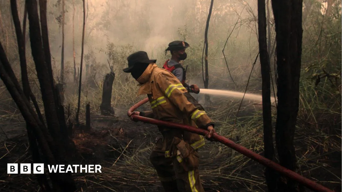
BBC News - WorldFIG 01
Reading time
1min
Word count
206words
Sources cited
2cited
Entities identified
8entities
Quality score
100%
§ 01
Briefing Summary
AI-generatedNEWSAR · AI
Scientists report that the developing El Niño has become the strongest on record, with global weather impacts already evident. While El Niño's effects are less distinct in the UK compared to other regions, it increases the likelihood of wet and stormy conditions across north-west Europe in late autumn and early winter. The Met Office has indicated "signals for increased rainfall and storminess" in the UK, particularly in November and December. Historically, strong El Niño events have coincided with extreme flooding, as seen in the winter of 2015-2016. El Niño can also be linked to late-winter cold spells in the UK, though this association is not consistently strong, with past El Niño winters showing mixed temperature outcomes. Scientists are continuing to monitor this El Niño as it approaches its expected peak towards the end of 2026.
Confidence 0.90Sources 2Claims 5Entities 8
§ 02
Article analysis
Model · rule-basedFraming
Environmental
Human Interest
Tone
Mixed Tone
AI-assessed
CalmNeutralAlarmist
Factuality
0.80 / 1.00
Factual
LowHigh
Sources cited
2
Limited
FewMany
§ 03
Key claims
5 extracted01
Scientists will continue to monitor its development and impact on weather around the world as this unprecedented El Niño approaches its peak towards the end of 2026.
predictionscientists
Confidence
0.95
02
Developing El Niño becomes strongest on record weeks before expected peak.
factual
Confidence
0.90
03
The winter of 2015/2016, coinciding with a strong El Niño, brought extreme flooding on record.
factualexperts
Confidence
0.85
04
El Niño brings increased chance of wet and stormy conditions across north-west Europe during late autumn and early winter.
factual
Confidence
0.80
05
El Niño can also be associated with UK cold spells in late winter, but the link is not strong and evidence is mixed.
factual
Confidence
0.70
§ 04
Full report
1 min read · 206 words§ 05
Entities
8 identifiedKey playerOppositionContextPositiveNeutralNegative
Organizations1
Locations3
§ 06
Keywords & salience
10 termsel niño
1.00
strongest on record
0.90
tropical pacific
0.70
wet and stormy conditions
0.70
north-west europe
0.60
extreme flooding
0.50
met office
0.50
big freeze
0.40
weather around the world
0.40
uk cold spells
0.40
§ 07
Topic connections
Interactive graph Network visualization showing 51 related topics
View Full Graph Person Organization Location Event|Click node to navigate|Edge numbers = shared articles