Scholar and author Sheng-Wei Wang discusses how studying an ancient Chinese world map led her to conclude China explored and mapped the world before the European Age of Discovery and how the legacy of colonialism and a Eurocentric record of global history continue to affect power dynamics today.What first made you suspect that it was Chinese explorers and not Europeans who launched the true Age of Discovery?The European Age of Discovery followed Christopher Columbus’ landing in the Americas, which occurred in 1492. However, many of the European maps in that period, or even before that, already showed places that the Europeans had not yet explored.We know that the map records the situation at the time of its being drawn and maybe even further in the past, but maps cannot predict the future. Even the most serious scholars agree that the forward-looking anomaly of these European maps is an enigma that has not been resolved.Furthermore, the big missing part is that the Eurocentric narratives talk about the European sea powers, but what about China’s role? Before the European Age of Discovery, or in the pre-Columbian era, China was the strongest sea power in the whole world. We have books written on that, not only by Chinese but also by Western scholars to show how impressive China’s sea power was.Printed in Beijing in 1602, the Kunyu Wanguo Quantu is a world map created by Italian priest Matteo Ricci in collaboration with Chinese scholars. Photo: Handout
SRCSouth China Morning Post
LANGEN
LEANCenter-Right
WORDS243
ENT8
SUN · 2026-04-12 · 22:00 GMTBRIEF NSR-2026-0413-64986
NSR-2026-0413-64986Analysis·EN·Political Strategy
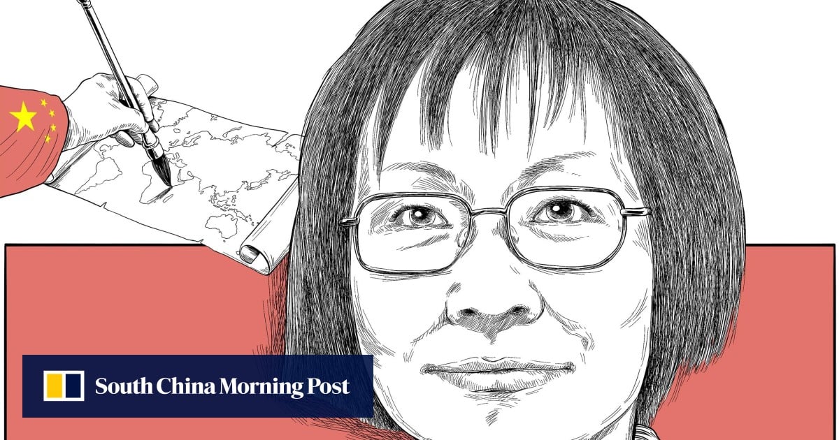
What an ancient Chinese map reveals about global history and modern power: Sheng-Wei Wang
Sheng-Wei Wang, a scholar, argues that China may have explored and mapped the world before the European Age of Discovery. Her conclusion stems from studying ancient maps, including the Kunyu Wanguo Quantu, a world map printed in Beijing in 1602 by Matteo Ricci and Chinese scholars.
Victoria BelaSouth China Morning PostFiled 2026-04-12 · 22:00 GMTLean · Center-RightRead · 1 min
South China Morning PostFIG 01
Reading time
1min
Word count
243words
Sources cited
1cited
Entities identified
8entities
Quality score
100%
§ 01
Briefing Summary
AI-generatedNEWSAR · AI
Sheng-Wei Wang, a scholar, argues that China may have explored and mapped the world before the European Age of Discovery. Her conclusion stems from studying ancient maps, including the Kunyu Wanguo Quantu, a world map printed in Beijing in 1602 by Matteo Ricci and Chinese scholars. Wang notes that European maps from before Columbus's voyage already depicted unexplored regions, suggesting prior knowledge. She questions the Eurocentric narrative of global exploration, highlighting China's significant sea power before the European Age of Discovery. Wang contends that the legacy of colonialism and a Eurocentric historical record continue to influence modern power dynamics.
Confidence 0.90Sources 1Claims 4Entities 8
§ 02
Article analysis
Model · rule-basedFraming
Political Strategy
Human Interest
Tone
Measured
AI-assessed
CalmNeutralAlarmist
Factuality
0.40 / 1.00
Mixed
LowHigh
Sources cited
1
Limited
FewMany
§ 03
Key claims
4 extracted01
The forward-looking anomaly of these European maps is an enigma that has not been resolved.
quoteSheng-Wei Wang
Confidence
0.90
02
The Eurocentric record of global history continues to affect power dynamics today.
quoteSheng-Wei Wang
Confidence
0.90
03
European maps of the period showed places Europeans had not yet explored.
factualSheng-Wei Wang
Confidence
0.80
04
Before the European Age of Discovery, China was the strongest sea power in the whole world.
factualSheng-Wei Wang
Confidence
0.70
§ 04
Full report
1 min read · 243 words§ 05
Entities
8 identifiedKey playerOppositionContextPositiveNeutralNegative
People3
Locations4
§ 06
Keywords & salience
9 termsancient chinese map
0.90
age of discovery
0.80
global history
0.70
power dynamics
0.60
eurocentric
0.60
sea power
0.50
colonialism
0.50
european maps
0.40
china
0.40
§ 07
Topic connections
Interactive graph Network visualization showing 51 related topics
View Full Graph Person Organization Location Event|Click node to navigate|Edge numbers = shared articles