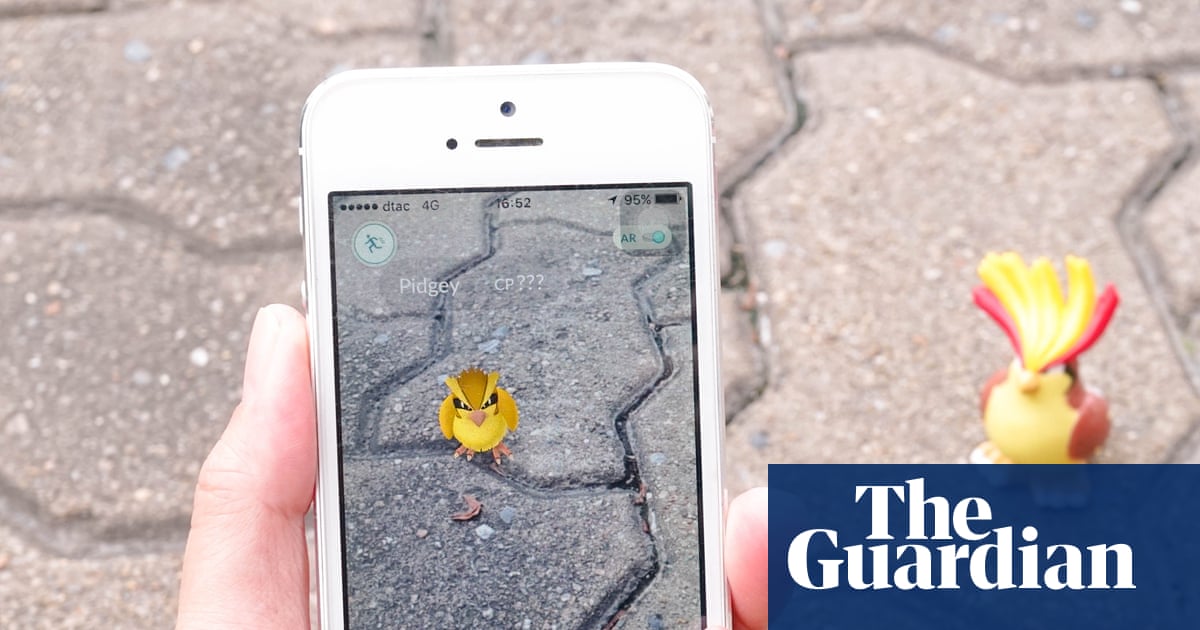
Pokemon Go became a worldwide hit after its launch – but players may not know that their game data trained AI that will potentially help military drones during war. Photograph: EnchantedFairy/Getty Images View image in fullscreen Pokemon Go became a worldwide hit after its launch – but players may not know that their game data trained AI that will potentially help military drones during war. Photograph: EnchantedFairy/Getty Images Pokémon Go data trained AI that could assist military drones in war zones Location scans from the globally popular augmented reality game have helped train AI to recognise and interpret physical spaces Follow our Australia news live blog for latest updates Get our breaking news email, free app or daily news podcast An AI model trained on data collected from users of Pokémon Go will potentially help military drones find their location in war zones. Pokémon Go, a 2016 augmented reality mobile game, allowed players to find and catch Pokémon in the real world using the cameras on their mobile phones, and exploded in popularity. In 2018, the company reported having more than 800m downloads worldwide. A 2021 update to the game introduced Pokéstops, which gave players in-game rewards for scanning real locations using their devices. It required users to opt in and upload the recording. Niantic, which created Pokémon in partnership with Nintendo, collected users’ location scan data before the company sold its gaming division in 2025. The historical scans were used to train the company’s AI models to recognise and interpret spaces in the physical world. After reporting from DroneXL this week, Niantic confirmed a partnership with Vantor, a company that specialises in spatial detection software for drones, including those used by some militaries. The agreement is designed to allow drones to navigate and coordinate precisely in areas where GPS is not available. “The partnership addresses a critical vulnerability in modern operations: GPS unavailability, spoofing, interference, and jamming,” the December announcement stated. “When satellite signals are compromised, autonomous systems and field teams lose their ability to orient, coordinate or maintain accurate situational awareness.” Vantor’s chief product officer, Peter Wilczynski, highlighted the benefits of the two companies working together in a December interview with Tectonic Defence. “The modern battle space is going to be complete with different systems, and you’re going to want to upgrade those systems quickly—bringing new hardware online faster than new software,” Wilczynski said. Both companies told Guardian Australia that ground scans from the game were not provided to Vantor as part of the partnership, but the scans from Pokémon Go were used to train Niantic’s foundation models. “AR Scans collected through Pokémon Go were submitted voluntarily by players who opted into the feature and were subject to the applicable Terms of Service and at the time,” the Niantic spokesperson said. Both companies said the partnership was still in its early stages. Tom Sulston, head of policy for tech policy think tank Digital Rights Watch said the use of civilian data for military ends was troubling. “While they may have disclaimers in their Ts&Cs, we know that most people don’t read vast legal documents when they want to play a video game,” he said. “We need regulators to focus on ‘best interests of the user’ or ‘fair and reasonable’ tests to keep users safe from exploitation like this. “While we’re waiting for the government to catch up, it’s important that we remember that ‘free’ software services often treat the user not as a customer but as the product to be sold.” Dr Rob Nicholls, senior researcher associated at the University of Sydney’s centre for AI, trust and governance, said the case was likely the tip of the iceberg regarding data collected from apps being used for other purposes. “We have already seen that Strava data has been used to identify the location of military facilities,” he said. “Indeed, directives not to use devices with GPS and sharing have come from a number of different militaries.” Vantor announced in February a deal with the US Army of up to US$217m for training software. Niantic sold its video game division to Saudi Arabian-owned Scopely for US$3.5bn in 2025. Explore more on these topics Technology AI (Artificial Intelligence) War reporting Arms trade Computing news Share Reuse this content
SRCThe Guardian - World News
LANGEN
LEANCenter-Left
WORDS707
ENT10
FRI · 2026-06-12 · 07:06 GMTBRIEF NSR-2026-0612-83819
NSR-2026-0612-83819News Report·EN·Technology
Pokémon Go data trained AI that could assist military drones in war zones
Data collected from Pokémon Go players' location scans has been used to train AI models that could assist military drones. Niantic, the game's developer, partnered with Vantor, a company specializing in spatial detection software for drones, to address GPS unreliability in war zones.
Josh Taylor Technology reporterThe Guardian - World NewsFiled 2026-06-12 · 07:06 GMTLean · Center-LeftRead · 3 min
The Guardian - World NewsFIG 01
Reading time
3min
Word count
707words
Sources cited
2cited
Entities identified
10entities
Quality score
100%
§ 01
Briefing Summary
AI-generatedNEWSAR · AI
Data collected from Pokémon Go players' location scans has been used to train AI models that could assist military drones. Niantic, the game's developer, partnered with Vantor, a company specializing in spatial detection software for drones, to address GPS unreliability in war zones. This AI can help drones recognize and interpret physical spaces, enabling navigation and coordination where GPS is compromised. While Niantic confirmed the use of these historical scans for training its foundational models, they stated the scans themselves were not directly provided to Vantor. This development raises concerns about the use of civilian data for military purposes, with experts suggesting it may be part of a broader trend.
Confidence 0.90Sources 2Claims 5Entities 10
§ 02
Article analysis
Model · rule-basedFraming
Technology
National Security
Tone
Mixed Tone
AI-assessed
CalmNeutralAlarmist
Factuality
0.80 / 1.00
Factual
LowHigh
Sources cited
2
Limited
FewMany
§ 03
Key claims
5 extracted01
Ground scans from the game were not provided to Vantor as part of the partnership.
factualBoth companies
Confidence
0.95
02
Niantic confirmed a partnership with Vantor, a company specializing in spatial detection software for drones, including military use.
factualNiantic
Confidence
0.95
03
Location scans from Pokémon Go were used to train Niantic's AI models to recognize and interpret physical spaces.
factual
Confidence
0.95
04
The partnership aims to allow drones to navigate and coordinate precisely in areas where GPS is unavailable.
factual
Confidence
0.90
05
Pokémon Go data trained AI that could assist military drones in war zones.
factual
Confidence
0.90
§ 04
Full report
3 min read · 707 words§ 05
Entities
10 identifiedKey playerOppositionContextPositiveNeutralNegative
Organizations7
§ 06
Keywords & salience
9 termsmilitary drones
1.00
ai training
1.00
pokémon go
0.90
augmented reality
0.80
spatial detection
0.70
gps unavailability
0.60
location data
0.50
niantic
0.40
vantor
0.40
§ 07
Topic connections
Interactive graph Network visualization showing 51 related topics
View Full Graph Person Organization Location Event|Click node to navigate|Edge numbers = shared articles