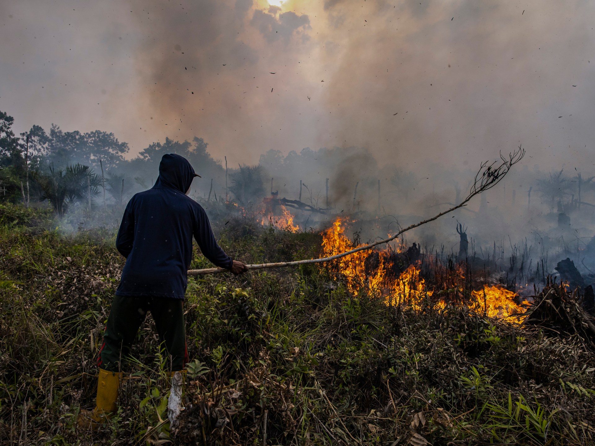
The Bureau of Meteorology says forecasts point towards a ‘very strong El Nino event’.Australia’s weather bureau has warned that an El Nino weather pattern has formed in the tropical Pacific and could intensify in the second half of the year, becoming one of the strongest in seven decades.The Bureau of Meteorology said in a statement on Tuesday that sea surface temperatures in the region had exceeded El Nino thresholds, and atmospheric indicators also suggested the phenomenon has begun.Recommended Stories list of 3 itemslist 1 of 3Why are ice cream prices soaring this summer?list 2 of 3‘Encouraging’: Global rainforest loss slows in 2025 after record yearlist 3 of 3‘A calamity’: Why is a record heatwave sweeping South Asia?end of list“Forecasts are pointing towards a strong to very strong El Nino event, based on the extent of warming in the central tropical Pacific,” it said.“Around half of the models indicate this event could peak at levels among the highest observed since 1950.”Forecasters expect the weather to bring excessive rain to the Americas and hot, dry conditions to Asia, which is already experiencing crop-planting issues, raising concerns about food supplies.(Al Jazeera)According to the bureau, El Nino is linked to reduced rainfall in winter and spring, particularly affecting Australia’s eastern coast and leading to higher daytime temperatures in the south.The weather pattern is especially damaging to Australia because it affects agricultural production in the country, which is among the world’s biggest exporters of wheat, sugar and beef.Scientists have said Climate Change will supercharge the effects of this year’s El Nino.The last time Australia experienced an El Nino weather pattern was from 2023 to 2024, and it caused the driest three-month period on record. Before that, one of the strongest events in 2015 and 2016 led to widespread drought and reduced oilseed and grain output.
SRCAl Jazeera
LANGEN
LEANCenter
WORDS300
ENT8
TUE · 2026-06-16 · 10:35 GMTBRIEF NSR-2026-0616-84874
NSR-2026-0616-84874News Report·EN·Environmental
Australia warns El Nino weather pattern set to be strongest in decades
Australia's Bureau of Meteorology has warned that a strong El Nino weather pattern has formed in the tropical Pacific. Forecasts indicate it could intensify in the latter half of the year, potentially becoming one of the strongest observed since 1950.
Edna MohamedAl JazeeraFiled 2026-06-16 · 10:35 GMTLean · CenterRead · 2 min
Al JazeeraFIG 01
Reading time
2min
Word count
300words
Sources cited
1cited
Entities identified
8entities
Quality score
100%
§ 01
Briefing Summary
AI-generatedNEWSAR · AI
Australia's Bureau of Meteorology has warned that a strong El Nino weather pattern has formed in the tropical Pacific. Forecasts indicate it could intensify in the latter half of the year, potentially becoming one of the strongest observed since 1950. This El Nino is expected to cause reduced rainfall and higher daytime temperatures in eastern and southern Australia, impacting agricultural production. Globally, it is predicted to bring excessive rain to the Americas and hot, dry conditions to Asia, raising concerns about food supplies. Scientists suggest climate change will amplify the effects of this El Nino event.
Confidence 0.90Sources 1Claims 5Entities 8
§ 02
Article analysis
Model · rule-basedFraming
Environmental
Economic Impact
Tone
Measured
AI-assessed
CalmNeutralAlarmist
Factuality
0.90 / 1.00
Factual
LowHigh
Sources cited
1
Limited
FewMany
§ 03
Key claims
5 extracted01
The last El Nino from 2023-2024 caused the driest three-month period on record in Australia.
factualBureau of Meteorology
Confidence
0.95
02
An El Nino weather pattern has formed in the tropical Pacific and could intensify, becoming one of the strongest in seven decades.
factualBureau of Meteorology
Confidence
0.95
03
El Nino is linked to reduced rainfall and higher daytime temperatures in Australia, particularly affecting its eastern coast and south.
factualBureau of Meteorology
Confidence
0.90
04
Forecasts point towards a strong to very strong El Nino event, with around half of models indicating it could peak at levels among the highest observed since 1950.
predictionBureau of Meteorology
Confidence
0.85
05
Climate change will supercharge the effects of this year's El Nino.
predictionScientists
Confidence
0.70
§ 04
Full report
2 min read · 300 words§ 05
Entities
8 identifiedKey playerOppositionContextPositiveNeutralNegative
Locations4
§ 06
Keywords & salience
8 termsel nino
1.00
weather pattern
0.90
climate change
0.80
bureau of meteorology
0.70
sea surface temperatures
0.60
agricultural production
0.50
food supplies
0.40
drought
0.40
§ 07
Topic connections
Interactive graph Network visualization showing 14 related topics
View Full Graph Person Organization Location Event|Click node to navigate|Edge numbers = shared articles