This story has been made freely available as a public service to our readers. Please consider supporting SCMP’s journalism by subscribing.Hong Kong’s weather forecaster will keep the No 1 typhoon signal in force until at least Friday evening, after which it will assess whether to issue the No 3 warning depending on the tropical storm’s intensity.The Hong Kong Observatory said Tropical Storm Maysak was estimated to be about 670km (416 miles) southwest of Hong Kong and was forecast to move northwest at around 10km/h (6.2mph) towards Hainan Island.“In the past couple of hours, Maysak has adopted a northwesterly track, edging closer to Hainan Island while still maintaining some distance from Hong Kong. The No 1 signal will remain in force at least until 6pm on Friday,” it said.The Observatory added that it would later assess the need to issue the No 3 warning, taking into account changes in Maysak’s intensity, the proximity of its strong winds to the Pearl River Estuary and local wind conditions.It also said that winds were occasionally strong offshore and on high ground in the morning.“The outer rainband associated with Maysak is affecting the Guangdong coast. There will be squally showers and thunderstorms across the region, along with swells,” it said.The forecaster also issued a thunderstorm warning at 7.20am, with temperatures expected to range between 27 and 31 degrees Celsius. (80.6 and 87.8 Fahrenheit).Friday’s weather will be mainly cloudy with a few squally showers and thunderstorms, and sunny intervals in the morning.Showers are expected to increase gradually, becoming heavier in some areas later in the day.It will be windy on Saturday, with occasional heavy showers and squally thunderstorms. Unsettled weather is expected to persist over the following couple of days.Further Reading
SRCSouth China Morning Post
LANGEN
LEANCenter-Right
WORDS285
ENT6
FRI · 2026-07-03 · 01:13 GMTBRIEF NSR-2026-0703-89573
NSR-2026-0703-89573News Report·EN·Environmental
Hong Kong to keep T1 until at least 6pm as Tropical Storm Maysak comes closer
Hong Kong's No. 1 typhoon signal will remain in effect until at least Friday evening as Tropical Storm Maysak moves northwest towards Hainan Island, located approximately 670km southwest of the city.
William YiuSouth China Morning PostFiled 2026-07-03 · 01:13 GMTLean · Center-RightRead · 2 min
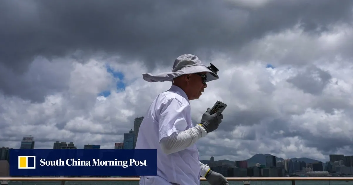
South China Morning PostFIG 01
Reading time
2min
Word count
285words
Sources cited
1cited
Entities identified
6entities
Quality score
100%
§ 01
Briefing Summary
AI-generatedNEWSAR · AI
Hong Kong's No. 1 typhoon signal will remain in effect until at least Friday evening as Tropical Storm Maysak moves northwest towards Hainan Island, located approximately 670km southwest of the city. The Hong Kong Observatory will reassess the situation later to determine if a No. 3 warning is necessary, considering Maysak's intensity and proximity to the Pearl River Estuary. The storm is currently bringing squally showers and thunderstorms to the Guangdong coast, with occasional strong winds offshore and on high ground. Friday's weather will be mainly cloudy with showers and thunderstorms, and unsettled conditions are expected to continue into the weekend.
Confidence 0.90Sources 1Claims 5Entities 6
§ 02
Article analysis
Model · rule-basedFraming
Environmental
Human Interest
Tone
Measured
AI-assessed
CalmNeutralAlarmist
Factuality
0.90 / 1.00
Factual
LowHigh
Sources cited
1
Limited
FewMany
§ 03
Key claims
5 extracted01
Temperatures are expected to range between 27 and 31 degrees Celsius.
statisticThe forecaster
Confidence
1.00
02
The outer rainband associated with Maysak is affecting the Guangdong coast, bringing squally showers and thunderstorms.
factualThe Hong Kong Observatory
Confidence
1.00
03
Tropical Storm Maysak was estimated to be about 670km southwest of Hong Kong.
statisticThe Hong Kong Observatory
Confidence
1.00
04
Hong Kong will keep the No 1 typhoon signal in force until at least Friday evening.
factualHong Kong's weather forecaster
Confidence
1.00
05
Maysak is forecast to move northwest at around 10km/h towards Hainan Island.
predictionThe Hong Kong Observatory
Confidence
0.90
§ 04
Full report
2 min read · 285 words§ 05
Entities
6 identifiedKey playerOppositionContextPositiveNeutralNegative
Organizations1
Locations4
§ 06
Keywords & salience
10 termstropical storm maysak
1.00
hong kong observatory
0.90
typhoon signal
0.80
weather forecaster
0.70
no 1 signal
0.70
no 3 warning
0.60
thunderstorms
0.50
squally showers
0.50
hainan island
0.40
pearl river estuary
0.40
§ 07
Topic connections
Interactive graph No topic relationship data available yet. This graph will appear once topic relationships have been computed.