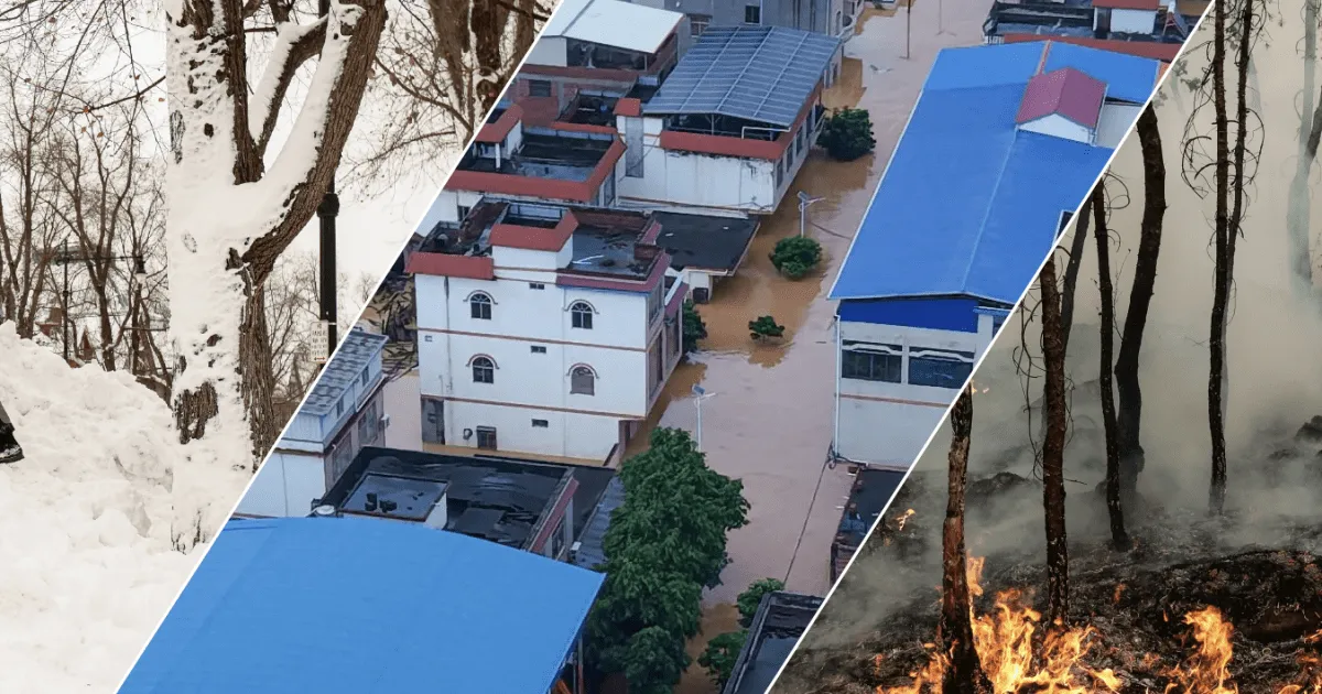
EXPLAINERForecasters say the Pacific Ocean warming pattern could be the strongest on record. Here is what that means for you.A powerful El Nino is taking shape in the Pacific, and it is reshaping weather across the globe.El Nino is a natural climate pattern caused by warmer-than-usual water in the central and eastern Pacific.Data from the United States National Oceanic and Atmospheric Administration (NOAA), released on September 14, 2026, shows El Nino has breached the temperature rise threshold of 2C (3.6F), thus becoming “very strong”, informally known as a super El Nino.This year’s El Nino began developing in June 2026 and is expected to peak by early 2027, with forecasters warning it could be one of the strongest ever recorded. NOAA’s Climate Prediction Center expects it to persist through March-May 2027.According to the World Meteorological Organization (WMO), El Nino happens every two to seven years. It usually starts between March and June, peaks between November and February, and can last up to 18 months.How could El Nino affect your country?A very strong El Nino tends to bring heavier rain to East Africa, South America and the southern US, drought to South Asia, Southeast Asia, Australia and Southern Africa, as well as warmer temperatures almost everywhere.Select your country from the dropdown below to see where rainfall is likely to increase or decrease.Where could it rain more?El Nino typically brings heavier rain to East Africa, South America and the southern US.East Africa is expecting heavier rain than usual between October and December. The IGAD Climate Prediction and Applications Centre, based in Ngong, Kenya, puts the chance of wetter conditions in southern Ethiopia, central and southern Somalia, and northeastern Kenya at 90 percent. These rains can supply up to 70 percent of the region’s annual rainfall, so heavier rain also means a higher risk of flooding.Tuktuks wade through floodwaters, following a heavy downpour in Mogadishu, Somalia, on June 21, 2026 [Feisal Omar/Reuters]El Nino typically brings more rain to parts of South America and the southern US too, with wetter conditions expected along the coasts of Ecuador and northern Peru in early 2027, then spreading to southern Brazil, Uruguay and northeastern Argentina between September 2026 and January 2027.
SRCAl Jazeera
LANGEN
LEANCenter
WORDS363
ENT12
TUE · 2026-09-15 · 13:10 GMTBRIEF NSR-2026-0915-111440
NSR-2026-0915-111440News Report·EN·Environmental
El Nino reaches super status: Where will it bring rain, drought and heat?
A powerful El Nino event, characterized by warmer-than-usual Pacific Ocean waters, has reached "super" status, potentially becoming one of the strongest on record. Forecasters from NOAA confirmed El Nino has surpassed a 2°C (3.6°F) temperature rise threshold, with its peak expected by early 2027 and persistence through May 2027.
Marium Ali,Mohammed HaddadAl JazeeraFiled 2026-09-15 · 13:10 GMTLean · CenterRead · 2 min
Al JazeeraFIG 01
Reading time
2min
Word count
363words
Sources cited
2cited
Entities identified
12entities
Quality score
100%
§ 01
Briefing Summary
AI-generatedNEWSAR · AI
A powerful El Nino event, characterized by warmer-than-usual Pacific Ocean waters, has reached "super" status, potentially becoming one of the strongest on record. Forecasters from NOAA confirmed El Nino has surpassed a 2°C (3.6°F) temperature rise threshold, with its peak expected by early 2027 and persistence through May 2027. This natural climate pattern, occurring every two to seven years, is predicted to bring heavier rainfall to East Africa, South America, and the southern United States. Conversely, South Asia, Southeast Asia, Australia, and Southern Africa are likely to experience drought, while warmer temperatures are anticipated globally.
Confidence 0.90Sources 2Claims 4Entities 12
§ 02
Article analysis
Model · rule-basedFraming
Environmental
Human Interest
Tone
Mixed Tone
AI-assessed
CalmNeutralAlarmist
Factuality
0.80 / 1.00
Factual
LowHigh
Sources cited
2
Limited
FewMany
§ 03
Key claims
4 extracted01
El Nino has breached the temperature rise threshold of 2C (3.6F), thus becoming “very strong”, informally known as a super El Nino.
statisticNOAA
Confidence
1.00
02
The IGAD Climate Prediction and Applications Centre puts the chance of wetter conditions in southern Ethiopia, central and southern Somalia, and northeastern Kenya at 90 percent.
statisticIGAD Climate Prediction and Applications Centre
Confidence
0.90
03
A very strong El Nino tends to bring heavier rain to East Africa, South America and the southern US, drought to South Asia, Southeast Asia, Australia and Southern Africa, as well as warmer temperatures almost everywhere.
factualWorld Meteorological Organization (WMO)
Confidence
0.90
04
This year’s El Nino began developing in June 2026 and is expected to peak by early 2027, with forecasters warning it could be one of the strongest ever recorded.
predictionForecasters/NOAA's Climate Prediction Center
Confidence
0.90
§ 04
Full report
2 min read · 363 words§ 05
Entities
12 identifiedKey playerOppositionContextPositiveNeutralNegative
Organizations2
Locations9
§ 06
Keywords & salience
10 termsel nino
1.00
super el nino
0.90
climate pattern
0.80
pacific ocean warming
0.70
weather patterns
0.60
warmer temperatures
0.50
heavier rain
0.50
drought
0.50
wmo
0.40
noaa
0.40
§ 07
Topic connections
Interactive graph Network visualization showing 51 related topics
View Full Graph Person Organization Location Event|Click node to navigate|Edge numbers = shared articles