Chinese scientists have used detailed satellite imagery analysis to examine damage to US military bases in the Middle East, uncovering discrepancies in both Washington and Tehran’s claims over the scale of the conflict.Using advanced remote sensing and image-processing techniques, researchers from the Chinese Academy of Sciences (CAS) also identified damage patterns that exposed vulnerabilities in fixed overseas military installations and highlighted operational shortcomings on either side.“The observed scale of destruction indicates physical impacts that exceed the characterisations of ‘minimal damage’ or ‘successful defence’ commonly presented in US briefings,” the scientists wrote in a letter published in the peer-reviewed journal The Innovation on July 7.
SRCSouth China Morning Post
LANGEN
LEANCenter-Right
WORDS104
ENT8
WED · 2026-07-29 · 12:00 GMTBRIEF NSR-2026-0729-97162
NSR-2026-0729-97162News Report·EN·Conflict
Chinese satellite imagery analysis challenges US-Iran war claims
Chinese scientists from the Chinese Academy of Sciences have analyzed satellite imagery of US military bases in the Middle East. Their findings, published in The Innovation on July 7, challenge claims made by both Washington and Tehran regarding the extent of damage during recent conflict.
Victoria BelaSouth China Morning PostFiled 2026-07-29 · 12:00 GMTLean · Center-RightRead · 1 min
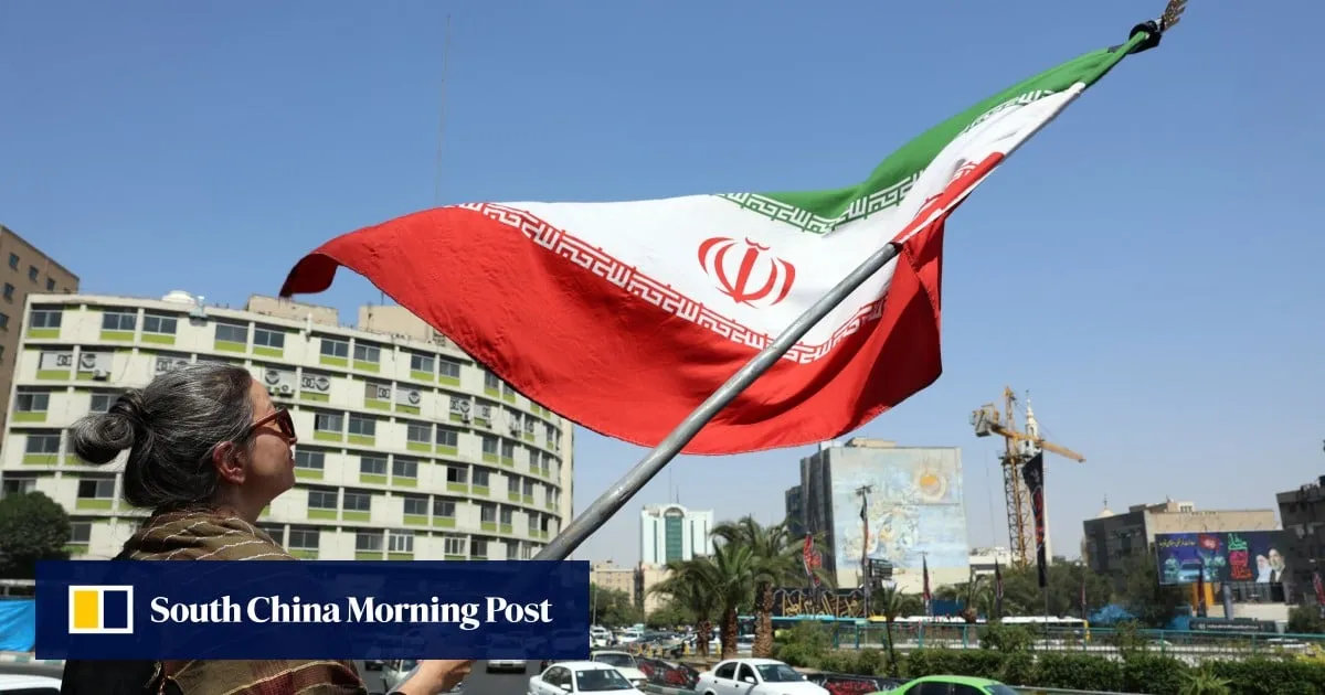
South China Morning PostFIG 01
Reading time
1min
Word count
104words
Sources cited
1cited
Entities identified
8entities
Quality score
100%
§ 01
Briefing Summary
AI-generatedNEWSAR · AI
Chinese scientists from the Chinese Academy of Sciences have analyzed satellite imagery of US military bases in the Middle East. Their findings, published in The Innovation on July 7, challenge claims made by both Washington and Tehran regarding the extent of damage during recent conflict. Using advanced remote sensing and image-processing techniques, the researchers identified damage patterns that suggest impacts exceeding descriptions of "minimal damage" or "successful defense" presented in US briefings. The analysis also revealed vulnerabilities in fixed overseas military installations and highlighted operational shortcomings on both sides.
Confidence 0.85Sources 1Claims 4Entities 8
§ 02
Article analysis
Model · rule-basedFraming
Conflict
Technology
Tone
Measured
AI-assessed
CalmNeutralAlarmist
Factuality
0.70 / 1.00
Factual
LowHigh
Sources cited
1
Limited
FewMany
§ 03
Key claims
4 extracted01
Observed scale of destruction exceeds characterizations of 'minimal damage' or 'successful defence' in US briefings.
quoteScientists from the Chinese Academy of Sciences
Confidence
0.95
02
Chinese satellite imagery analysis challenges US-Iran war claims regarding the scale of conflict.
factualChinese scientists
Confidence
0.90
03
Researchers identified damage patterns exposing vulnerabilities in fixed overseas military installations.
factualChinese Academy of Sciences (CAS)
Confidence
0.85
04
The analysis highlights operational shortcomings on either side of the conflict.
factualChinese scientists
Confidence
0.80
§ 04
Full report
1 min read · 104 words§ 05
Entities
8 identifiedKey playerOppositionContextPositiveNeutralNegative
Locations4
§ 06
Keywords & salience
8 termssatellite imagery analysis
1.00
us military bases
0.90
remote sensing
0.80
image-processing techniques
0.70
conflict scale
0.60
military installations
0.50
chinese academy of sciences
0.50
us briefings
0.40
§ 07
Topic connections
Interactive graph Network visualization showing 51 related topics
View Full Graph Person Organization Location Event|Click node to navigate|Edge numbers = shared articles