US
US Geographic Names Information System
Organization GovernmentUS Geographic Names Information System is a US government body that standardizes geographic names.
Mentions:2
7 Days:0
About
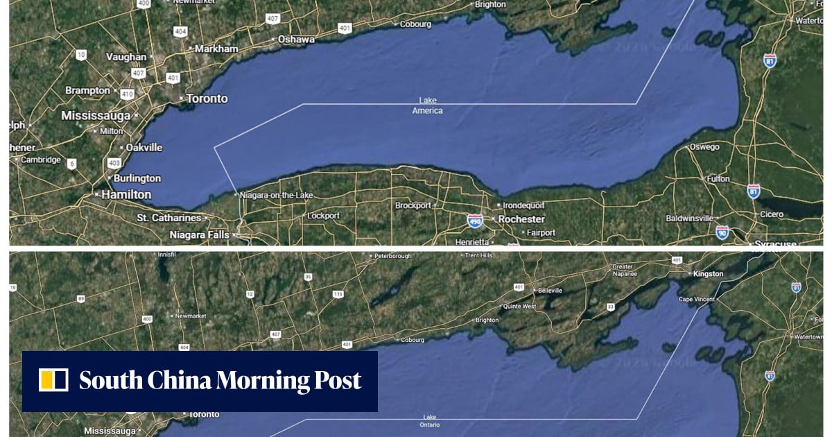
The US Geographic Names Information System (GNIS) is a federal program established by the U.S. Geological Survey (USGS) in 1978 to record and maintain official names of geographic features in the United States. Its primary role is to provide definitive names for use on federal maps and in other government publications. Recently, GNIS has become newsworthy due to a presidential order that reportedly led to the renaming of Lake Ontario to "Lake America" on Google Maps for U.S. users. This change, which did not affect Canadian users, is linked to an escalating trade dispute between the U.S. and Canada. The event highlights the GNIS's role in standardizing geographic nomenclature and its potential impact when official decisions influence public-facing digital platforms. The current relevance lies in how governmental decisions on geographic names can be reflected in widely used applications, impacting public perception and international relations.
Last updated: October 7, 2026