After an “unprecedented” deluge in Chiba in mid-August, Japan has experienced further extreme rainfall in recent days. Moisture from the Sea of Japan brought relentless heavy rain to the prefectures of Ishikawa and Toyama on Thursday.In Himi, Toyama, 361.5mm of rain fell in 24 hours, equivalent to half the average annual rainfall in London and Paris. Several rivers burst their banks, triggering flash floods and mudslides, felling and damaging buildings.Japan’s Meteorological Agency issued its highest-level rain warning for the two prefectures this week, as well as landslide warnings, leading to the evacuation of hundreds of thousands of people. Models on Thursday indicated that a further 200mm of rain could fall just south of this region as moisture continued to move in from the west.Two days earlier, Typhoon Saudel had passed through the prefectures of Kagoshima and Okinawa Island, south-west of the mainland, bringing winds of 100mph (160km/h) and extreme rainfall. In the Amami region, 230mm rain fell in a day. The storm was forecast to move into south-east China by the end of the week, with much weaker winds.While the warm ocean waters surrounding Japan often contribute to increased typhoon activity at this time of year, this year’s developing El Niño could explain why so many storms have approached the island nation and why there have been so many extreme rain events.Unlike during La Niña years, when the semi-permanent North Pacific High often extends west towards Japan, in El Niño years, the ridge tends to extend northwards, allowing weather fronts to push through more easily and tropical storms developing farther south to “recurve” towards Japan.Destroyed houses after a tornado in Pomas, France, on Wednesday. Photograph: Idriss Bigou-Gilles/AFP/Getty ImagesOver the past few days, severe convective storms have struck western Europe, particularly the Alpine regions. The storms have brought intense rain, strong winds, large hail and even tornadoes. Spain, France, and Italy have been particularly affected, with hailstones up to 10cm in diameter reported in Catalonia and a significant tornado developing in the village of Pomas, south-west France.The severe weather developed due to a combination of factors, including a low-pressure system tracking along the western coast of Europe, high levels of convective instability and strong vertical wind shear.
SRCThe Guardian - World News
LANGEN
LEANCenter-Left
WORDS366
ENT12
FRI · 2026-08-28 · 08:02 GMTBRIEF NSR-2026-0828-106793
NSR-2026-0828-106793News Report·EN·Environmental
Weather tracker: More extreme rain in Japan and a tornado in France
Japan has experienced extreme rainfall in recent days, with Ishikawa and Toyama prefectures receiving over 360mm of rain in 24 hours, causing flash floods and mudslides. The Japan Meteorological Agency issued its highest-level rain and landslide warnings, leading to evacuations.
Brendan Wood and Faye Hulton for MetDeskThe Guardian - World NewsFiled 2026-08-28 · 08:02 GMTLean · Center-LeftRead · 2 min
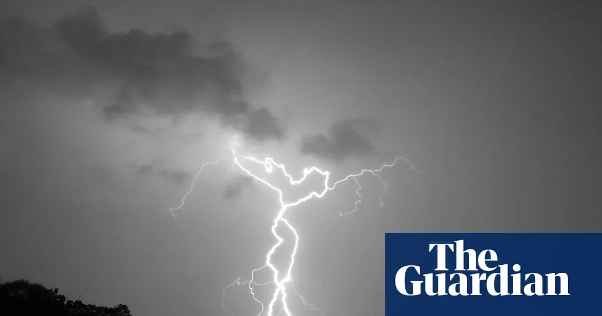
The Guardian - World NewsFIG 01
Reading time
2min
Word count
366words
Sources cited
2cited
Entities identified
12entities
Quality score
100%
§ 01
Briefing Summary
AI-generatedNEWSAR · AI
Japan has experienced extreme rainfall in recent days, with Ishikawa and Toyama prefectures receiving over 360mm of rain in 24 hours, causing flash floods and mudslides. The Japan Meteorological Agency issued its highest-level rain and landslide warnings, leading to evacuations. This follows a deluge in Chiba in August and Typhoon Saudel's impact on southern Japan. The developing El Niño is suggested as a factor for increased storm activity. Meanwhile, western Europe, including France, Spain, and Italy, has been hit by severe convective storms, bringing intense rain, strong winds, large hail, and a tornado in Pomas, France. These storms are attributed to a low-pressure system, convective instability, and wind shear.
Confidence 0.90Sources 2Claims 5Entities 12
§ 02
Article analysis
Model · rule-basedFraming
Environmental
Human Interest
Tone
Mixed Tone
AI-assessed
CalmNeutralAlarmist
Factuality
0.80 / 1.00
Factual
LowHigh
Sources cited
2
Limited
FewMany
§ 03
Key claims
5 extracted01
Hailstones up to 10cm in diameter were reported in Catalonia, Spain.
statistic
Confidence
1.00
02
Severe convective storms in western Europe brought intense rain, strong winds, large hail, and tornadoes.
factual
Confidence
1.00
03
Typhoon Saudel brought 100mph winds and extreme rainfall to Kagoshima and Okinawa Island.
statistic
Confidence
1.00
04
Japan experienced extreme rainfall in Ishikawa and Toyama prefectures, with Himi receiving 361.5mm in 24 hours.
statistic
Confidence
1.00
05
Developing El Niño could explain increased storm activity and extreme rain events in Japan.
factual
Confidence
0.90
§ 04
Full report
2 min read · 366 words§ 05
Entities
12 identifiedKey playerOppositionContextPositiveNeutralNegative
Organizations1
Locations9
§ 06
Keywords & salience
10 termsextreme rainfall
1.00
el niño
0.90
tornado
0.80
flash floods
0.70
typhoon saudel
0.60
landslides
0.60
japan
0.50
france
0.50
severe convective storms
0.50
weather warnings
0.40
§ 07
Topic connections
Interactive graph Network visualization showing 51 related topics
View Full Graph Person Organization Location Event|Click node to navigate|Edge numbers = shared articles