The United Nations General Assembly voted on Friday to back a resolution spearheaded by several African countries to adopt a map that makes their continent bigger while shrinking North America and Europe.Aimed at “a more accurate representation” of continental landmasses, the resolution was supported by 164 countries while the US voted against it and six other states abstained.The new map – known as the Equal Earth cartographic projection – “is a relevant option for improving the accuracy of the cartographic representation of the world”, the resolution said.
SRCSouth China Morning Post
LANGEN
LEANCenter-Right
WORDS87
ENT6
FRI · 2026-09-04 · 18:58 GMTBRIEF NSR-2026-0904-109306
NSR-2026-0904-109306News Report·EN·Diplomatic
UN adopts new map: Africa bigger, North America and Europe smaller
The United Nations General Assembly has adopted a resolution, spearheaded by African countries, to use a new map projection known as the Equal Earth. This new map aims for a more accurate representation of continental landmasses, resulting in Africa appearing larger while North America and Europe are depicted as smaller.
Agence France-PresseSouth China Morning PostFiled 2026-09-04 · 18:58 GMTLean · Center-RightRead · 1 min
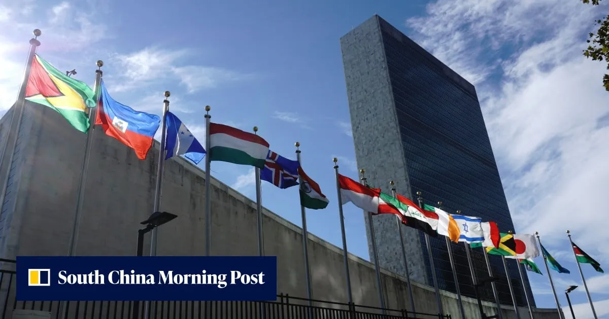
South China Morning PostFIG 01
Reading time
1min
Word count
87words
Sources cited
0cited
Entities identified
6entities
Quality score
100%
§ 01
Briefing Summary
AI-generatedNEWSAR · AI
The United Nations General Assembly has adopted a resolution, spearheaded by African countries, to use a new map projection known as the Equal Earth. This new map aims for a more accurate representation of continental landmasses, resulting in Africa appearing larger while North America and Europe are depicted as smaller. The resolution was supported by 164 member states, with the United States voting against it and six other countries abstaining. The UN General Assembly's decision on Friday signifies a move towards a cartographic representation considered more accurate by its proponents.
Confidence 0.85Claims 4Entities 6
§ 02
Article analysis
Model · rule-basedFraming
Diplomatic
Political Strategy
Tone
Measured
AI-assessed
CalmNeutralAlarmist
Factuality
0.90 / 1.00
Factual
LowHigh
Sources cited
0
No named sources
FewMany
§ 03
Key claims
4 extracted01
The Equal Earth cartographic projection is a relevant option for improving cartographic accuracy.
quoteresolution
Confidence
1.00
02
164 countries supported the resolution, the US voted against it, and six abstained.
statisticUN General Assembly
Confidence
1.00
03
The new map, the Equal Earth cartographic projection, aims for a more accurate representation of continental landmasses.
factualresolution
Confidence
1.00
04
The UN General Assembly adopted a resolution to use a new map projection.
factualUN General Assembly
Confidence
1.00
§ 04
Full report
1 min read · 87 words§ 05
Entities
6 identifiedKey playerOppositionContextPositiveNeutralNegative
Locations4
§ 06
Keywords & salience
7 termsequal earth cartographic projection
1.00
un general assembly
0.90
continental landmasses
0.80
map accuracy
0.70
cartographic representation
0.60
african countries
0.50
resolution adoption
0.40
§ 07
Topic connections
Interactive graph Network visualization showing 21 related topics
View Full Graph Person Organization Location Event|Click node to navigate|Edge numbers = shared articles