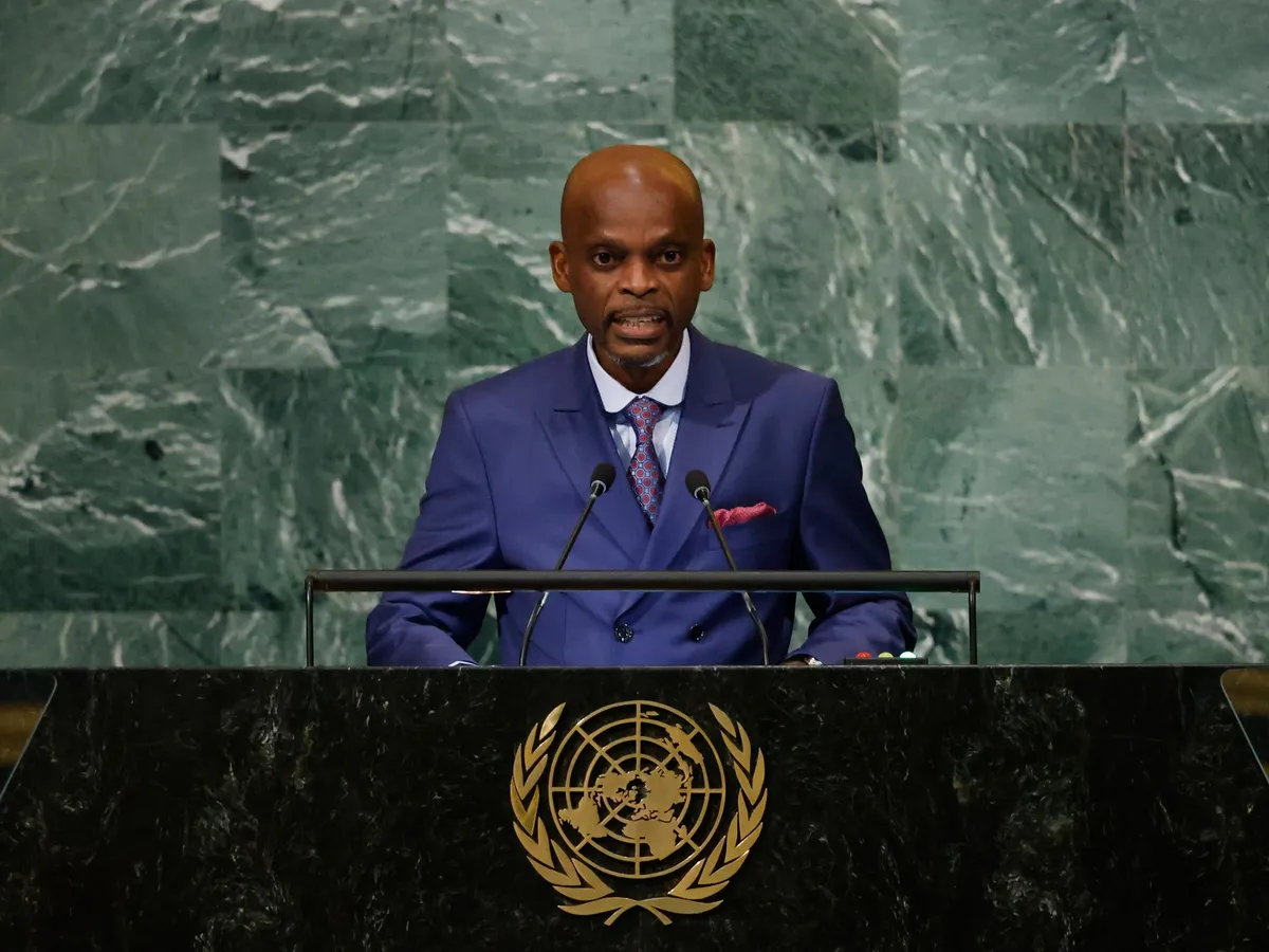
EXPLAINERThe UN has urged countries to adopt a map that makes Africa, Latin America, South Asia and Oceania larger than the traditional Mercator projection.UN approves new map showing Africa’s true sizePublished On 5 Sep 2026The United Nations General Assembly has voted to back a resolution spearheaded by several African countries to adopt a map that shows the continent as much bigger than it is on conventional world maps.On Friday, the resolution aimed at “a more accurate representation” of continental landmasses on the globe was supported by 164 countries, while the United States voted against it and six other states abstained.Recommended Stories list of 3 itemslist 1 of 3Ghana tightens gold exports in push to keep more value at homelist 2 of 3As the China-US AI race reaches Cairo, Egypt faces a strategic decisionlist 3 of 3UN votes to adopt new world map that reflects Africa’s true sizeend of listThe new map – known as the Equal Earth cartographic projection – “is a relevant option for improving the accuracy of the cartographic representation of the world”, the resolution stated.Foreign Minister Robert Dussey of Togo, which drove the resolution, said maps “guide education, nourish the imagination, and influence collective perceptions”.“The resolution adopted today reaffirms African reality,” he added.But how does the new map differ from the traditional version, and why did the US object?What has the UN decided?The UN has urged member states to adopt a new map in place of the centuries-old, traditional Mercator projection, which was designed for maritime navigation by Flemish cartographer Gerardus Mercator in 1569.That projection focused on accurate depictions of the shapes and angles of land masses, but their relative sizes were often inaccurate – in part because of the challenge of rendering a three-dimensional globe onto a two-dimensional surface.It inflated northern regions and compressed equatorial ones, making Europe and North America appear much larger, while shrinking Africa and South America.(Al Jazeera)How big are Africa, Latin America, South Asia and Oceania?It does not look like it on the conventional Mercator map, but Africa is a giant among the world’s continents at about 30.3 million square kilometres (11.7 million square miles).It is large enough to contain the US, China, India and most of Europe, yet on a Mercator map it looks roughly the same size as Greenland, which is actually about 14 times smaller than the continent.Latin America covers roughly 20 million sq km (7.7 million sq miles), of which South America accounts for 17.8 million sq km (6.9 million sq miles).Oceania spans about 8.5 million sq km (3.3 million sq miles), almost all of it Australia.South Asia is the smallest of the four at about 5.1 million sq km (2 million sq miles), though it is home to about a quarter of the world’s population.Combined, the four cover about 64 million sq km (24.7 million sq miles), more than 40 percent of the world’s land surface.Europe, by comparison, is 10.2 million sq km (3.9 million sq miles).What has the response to the change of maps been?Largely positive.France, which co-sponsored the resolution in support of the new map, announced on Friday that it would abandon the Mercator projection.In that map, “the United States, Russia and China take on a disproportionate visual prominence compared to Africa, Latin America or Southeast Asia”, while “Greenland appears almost as big as Africa,” Foreign Minister Jean-Noel Barrot said.“Changing maps obviously doesn’t change the world,” he added. “But correcting a distorted representation is already an act of truth.”Only the US voted against it, while six other countries – Serbia, Estonia, Georgia, Lithuania, Moldova and Ukraine – abstained.US representative Yaryna Ferencevych said before the vote that the resolution is “the reason this institution is losing its credibility”.“Instead of focusing on genuine problems … this body is debating map projects from the 16th century,” she said.What is Equal Earth?Equal Earth was launched in 2018 by three cartographers – Bojan Savric of the Environmental Systems Research Institute, Tom Patterson of the US National Park Service, and Bernhard Jenny of Monash University.“Equal Earth preserves the relative surface areas of continents and, as much as possible, shows their shapes as they appear on a globe,” Savric told the AFP news agency in 2025.The UN resolution encourages governments and institutions worldwide to adopt the Equal Earth projection.Will the world map actually change?Friday’s resolution is not binding, but is intended to encourage changes to maps used by default around the world.The UN said in its report that it is not banning the Mercator projection or imposing a replacement, but is merely encouraging the use of the Equal Earth projection.
SRCAl Jazeera
LANGEN
LEANCenter
WORDS758
ENT12
SAT · 2026-09-05 · 12:49 GMTBRIEF NSR-2026-0905-109492
NSR-2026-0905-109492News Report·EN·Diplomatic
How big is Africa really? Why the UN voted to change the world map
The United Nations General Assembly has voted to back a resolution, spearheaded by African countries, to adopt a new world map projection called Equal Earth. This new map, supported by 164 countries, aims to provide a more accurate representation of continental landmasses, showing Africa, Latin America, South Asia, and Oceania as significantly larger than they appear on the traditional Mercator projection.
Nils AdlerAl JazeeraFiled 2026-09-05 · 12:49 GMTLean · CenterRead · 4 min
Al JazeeraFIG 01
Reading time
4min
Word count
758words
Sources cited
2cited
Entities identified
12entities
Quality score
100%
§ 01
Briefing Summary
AI-generatedNEWSAR · AI
The United Nations General Assembly has voted to back a resolution, spearheaded by African countries, to adopt a new world map projection called Equal Earth. This new map, supported by 164 countries, aims to provide a more accurate representation of continental landmasses, showing Africa, Latin America, South Asia, and Oceania as significantly larger than they appear on the traditional Mercator projection. The Mercator projection, created in 1569 for maritime navigation, distorts the relative sizes of landmasses, making northern regions appear larger and equatorial regions smaller. Togo drove the resolution, emphasizing that maps influence perceptions and education. The United States voted against the resolution, arguing it distracts from more pressing issues, while six other countries abstained. The UN is encouraging member states to adopt the Equal Earth projection, though the resolution is not binding.
Confidence 0.90Sources 2Claims 5Entities 12
§ 02
Article analysis
Model · rule-basedFraming
Diplomatic
Human Interest
Tone
Measured
AI-assessed
CalmNeutralAlarmist
Factuality
0.80 / 1.00
Factual
LowHigh
Sources cited
2
Limited
FewMany
§ 03
Key claims
5 extracted01
On Friday, the resolution was supported by 164 countries, while the United States voted against it and six other states abstained.
statistic
Confidence
1.00
02
The traditional Mercator projection inflated northern regions and compressed equatorial ones, making Europe and North America appear much larger, while shrinking Africa and South America.
factual
Confidence
1.00
03
Africa is large enough to contain the US, China, India and most of Europe, yet on a Mercator map it looks roughly the same size as Greenland.
statistic
Confidence
1.00
04
The new map, known as the Equal Earth cartographic projection, is a relevant option for improving the accuracy of the cartographic representation of the world.
quoteUN resolution
Confidence
1.00
05
The UN General Assembly voted to back a resolution to adopt a map showing Africa as much bigger than on conventional world maps.
factualUnited Nations General Assembly
Confidence
1.00
§ 04
Full report
4 min read · 758 words§ 05
Entities
12 identifiedKey playerOppositionContextPositiveNeutralNegative
Locations7
§ 06
Keywords & salience
10 termsmercator projection
1.00
un map resolution
1.00
africa's true size
0.90
cartographic projection
0.80
equal earth projection
0.70
united nations general assembly
0.60
geographical representation
0.50
map accuracy
0.50
continental landmasses
0.40
maritime navigation
0.40
§ 07
Topic connections
Interactive graph Network visualization showing 51 related topics
View Full Graph Person Organization Location Event|Click node to navigate|Edge numbers = shared articles