
AD
Armed Conflict Location and Event Data
Organization NGOACLED monitors and maps global political violence and protest events in real-time.
Mentions:2
7 Days:0
About
The Armed Conflict Location and Event Data (ACLED) project is a globally recognized data collection, analysis, and dissemination initiative that maps real-time political violence and protest events. ACLED collects data on over 1,000 locations worldwide, providing critical information on the actors involved, the types of violence, and the locations of conflicts and demonstrations. Its work is particularly relevant in understanding the dynamics of modern warfare, including the increasing use of advanced technologies like weaponized drones, as highlighted by recent events in Colombia where such attacks are leading to civilian casualties. Furthermore, ACLED's comprehensive tracking of global unrest is crucial for analyzing geopolitical situations, such as the ongoing US-Israeli conflict with Iran, and understanding public reactions and protest movements, or their absence, in Western nations. By providing timely and detailed data, ACLED offers essential insights for researchers, policymakers, and the public seeking to comprehend the complex landscape of global security and conflict.
Last updated: September 22, 2026
Recent Coverage

Haiti police confront public frustration after deadly gang attack kills 47

Red Cross urges international aid as Sudan crisis deepens
What to know about the conflict in Mali and the world’s most terrorized region
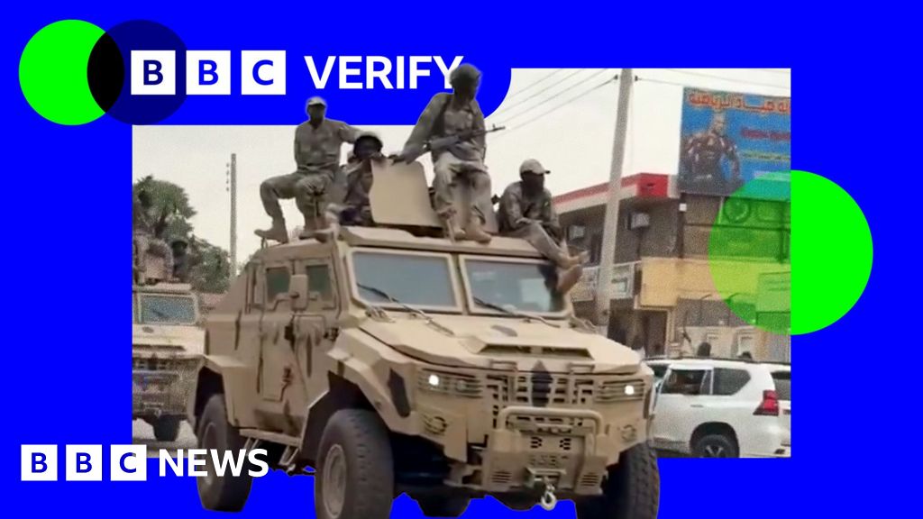
'No safe options' for thousands sheltering in key Sudan city as RSF fighters advance

Nicaragua’s president says country will not hold any more elections

Mapping the latest US strikes across Iran

Myanmar has ‘a mountain to climb’ to woo 2 million tourists a year
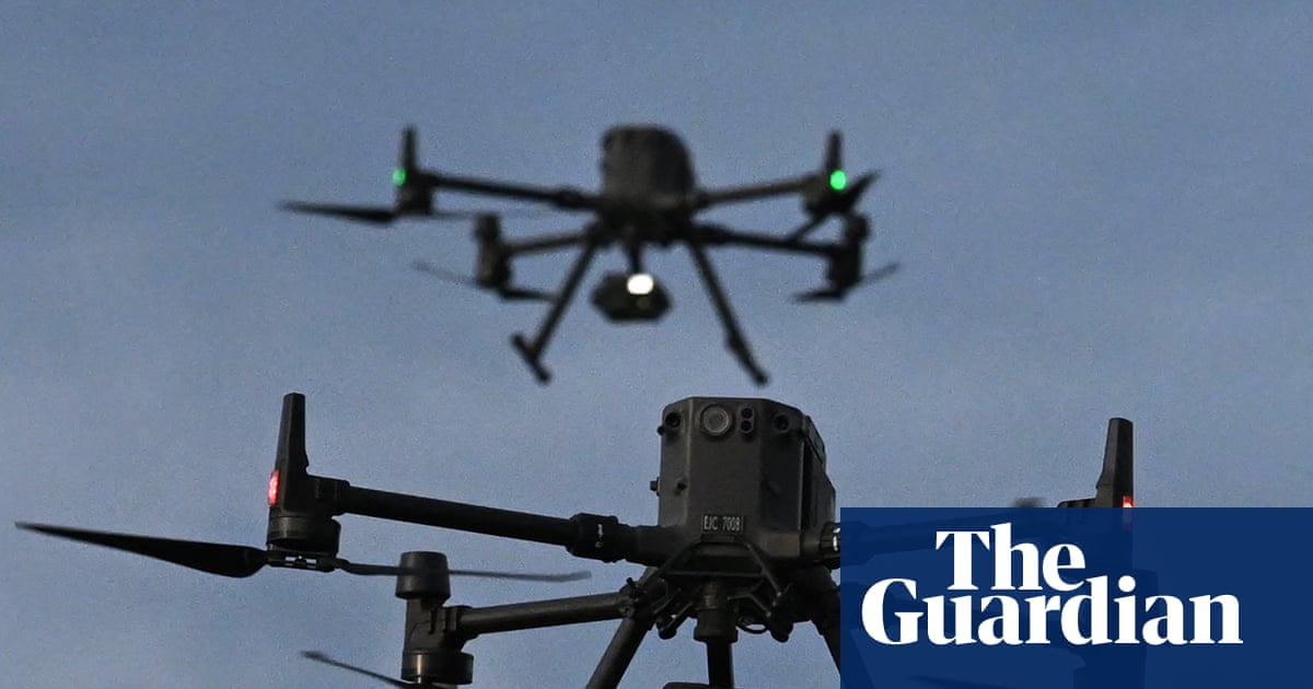
Drones reshape war in Colombia as deaths and injuries mount
